![]()
![]()
![]()
![]()

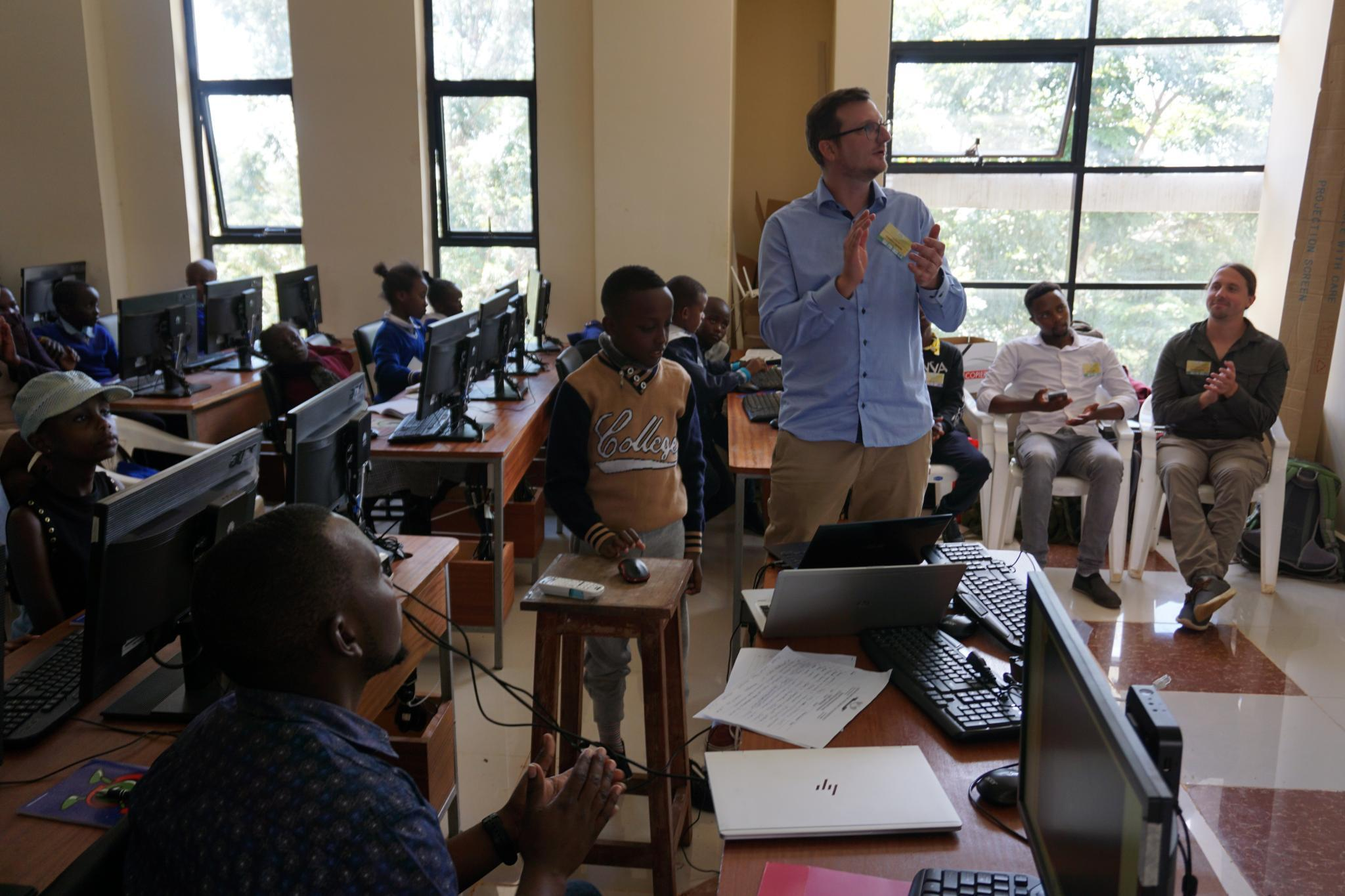
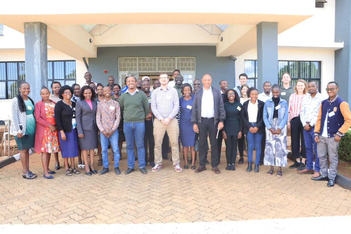
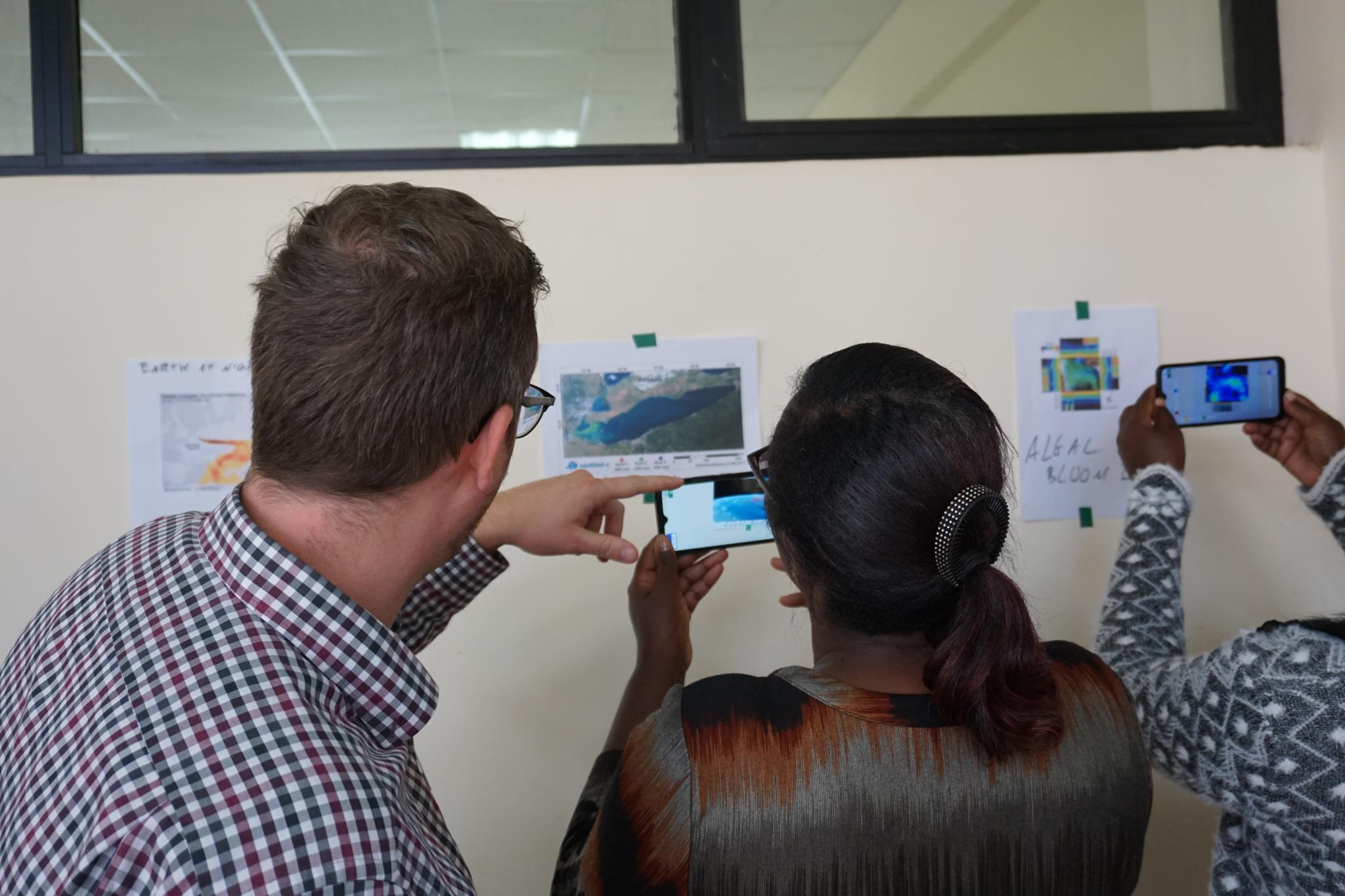
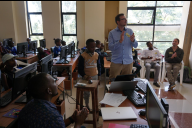
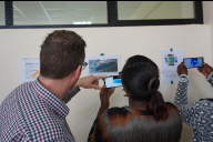
In January, the WG Geomatics - Interdisciplinary Geoinformation Sciences visited the colleagues of the Dedan Kimathi University of Technology (DeKUT) in NyaWith them were junior professor Andreas Rienow, PhD students Marcus Goebel and Stefanie Steinbach, and student assistants Niels Dedring and Anna Bartels. As part of the project "CITGI4Muringato - Participatory Approach to Sustainable Environmental Monitoring and Management in the Muringato Catchment" (BMBF, 01DG20022), they exchanged information about current work, carried out field measurements and organised a joint training session with primary schools from the region. More than 20 teachers and 35 pupils took part in the workshop "Environmental Conservation ELearning" on 11-12 January 2023 and were introduced to the world of maps, satellite images and geodata by the project staff. The workshop was also conducted in collaboration with the Kenyan Space Agency (KSA). Special attention was given to competency-based learning and e-learning. Thus, the augmented reality applications of the Geomatics WG were also presented.
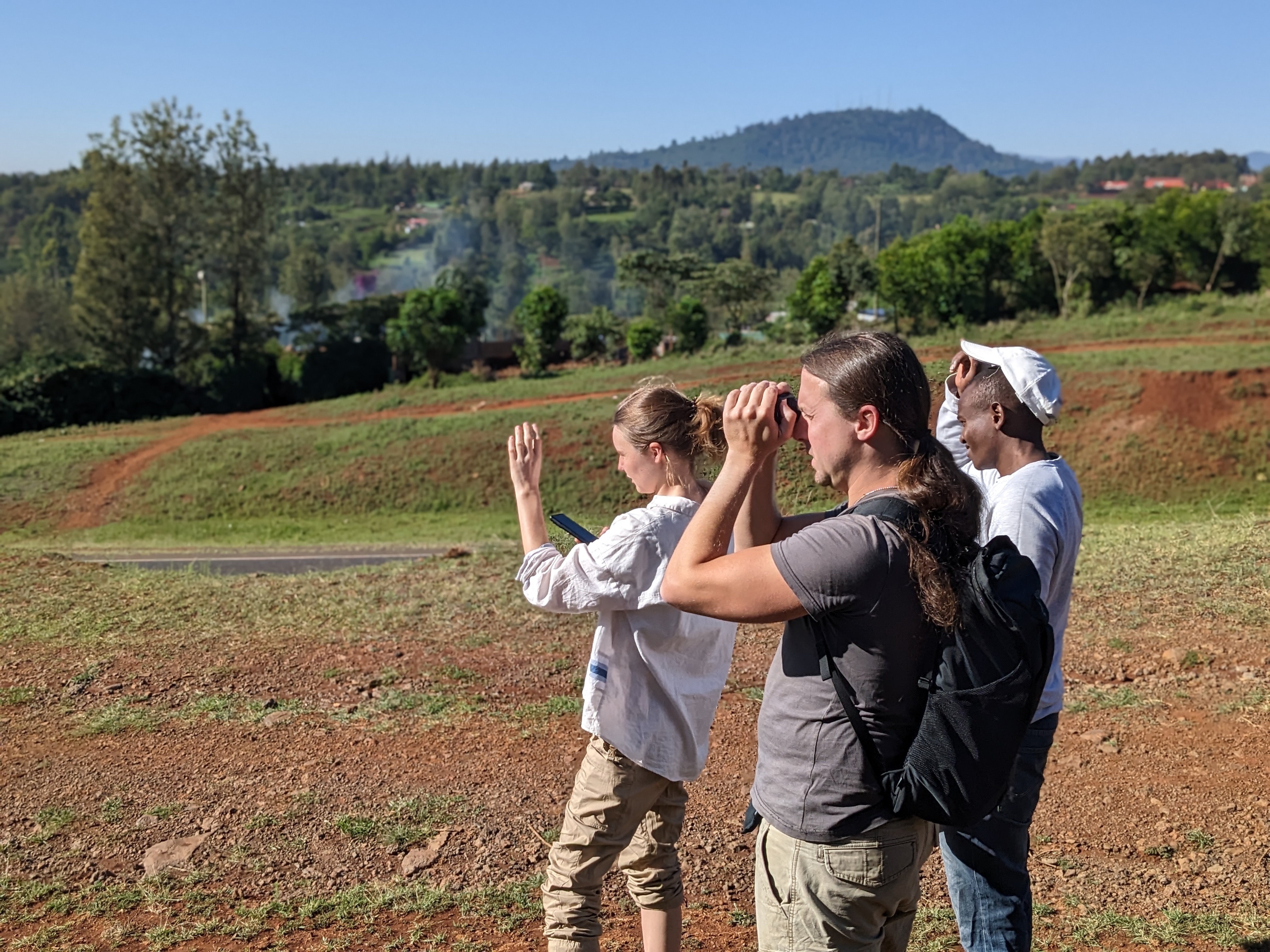
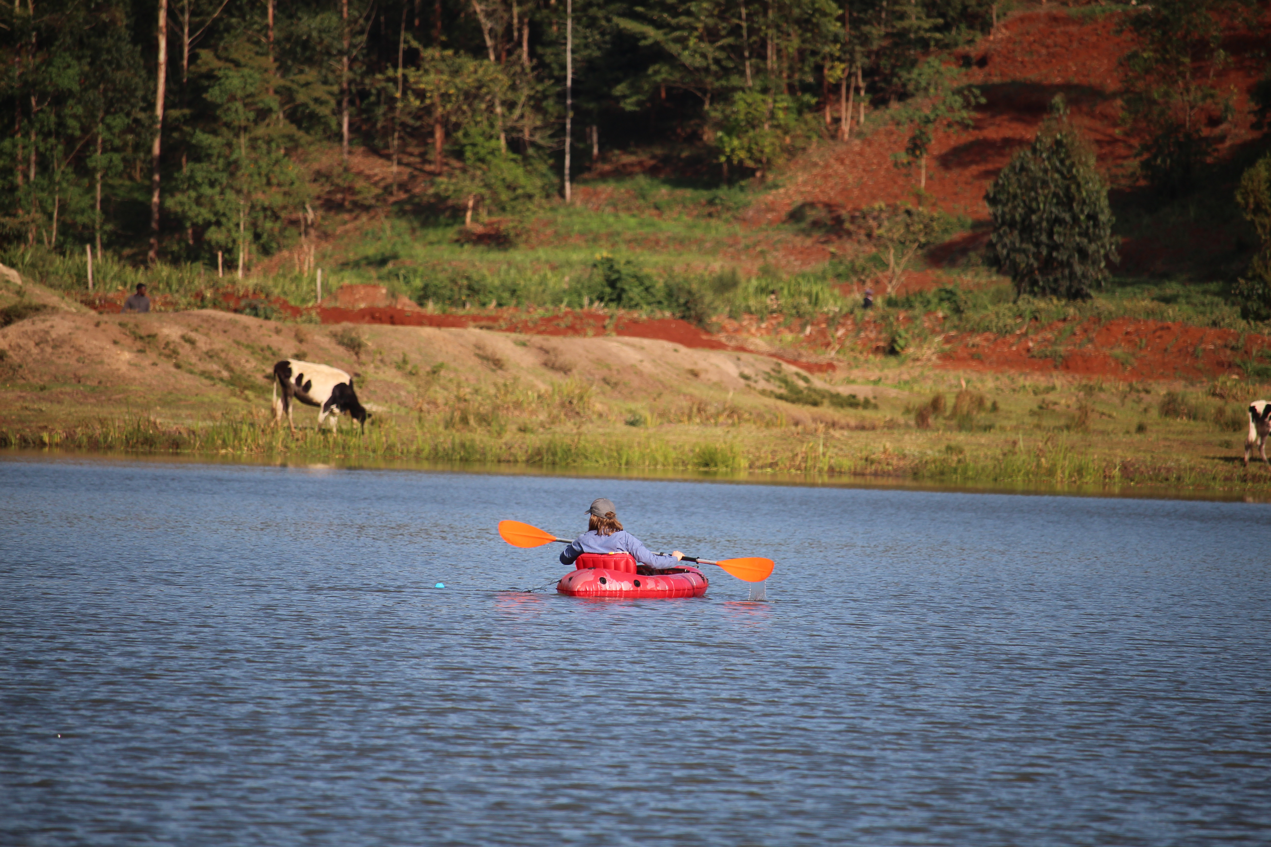
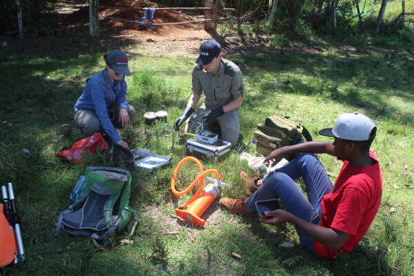
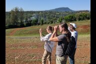
In addition, extensive field work was also carried out during the stay: With the help of global navigation satellite systems and a laser range finder, comprehensive information on land cover in the Muringato catchment was mapped. Complementarily, several small reservoirs used for agriculture, among others, were sampled with regard to various water quality parameters. The comparison between results generated with laboratory and low-cost sensors serves to test the potential of low-cost sensor systems to collect reference data. The data collected will be used in the development of a new monitoring approach based on Earth observation satellites.
The overall project objective of CITGI4Muringato is to develop a participatory approach to sustainable environmental monitoring and management of the Muringato sub-basin in central Kenya. The project aims to develop an inventory of water resources in the catchment using remote sensing, GIS and crowd-mapping based surveys.
Copyright © Geographical Institute 2023
Last update: Feb 08, 2023