![]()
![]()
![]()
![]()
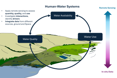
Our research focus lies in the investigation of the Urban System and thus the interplay between urban and rural areas using remote sensing technologies. We develop innovative methods for capturing and evaluating satellite, aerial, and drone data to analyze and understand coupled human-environment system dynamics. Our goal is to gain valuable practical insights through precise data evaluation and interpretation to deepen Earth system science research.
Through our diverse interests, focus areas and projects, our research spans the globe.
Click on a point on the map to see what we are currently working on and have worked on in recent years.
Further information can also be found under News, Projects und Publications.
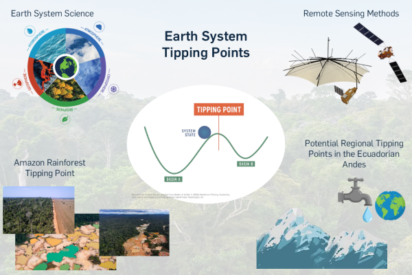
Remote sensing methods are applicable to a wide range of topics in Earth system sciences.
Click on one of the focus areas to be directed to the team member actively researching it.
Is one of the focus areas of interest for a thesis or a collaboration in a research project with our group?
Are you interested in writing your Bachelor's or Master's thesis in our research group?
Or are you interested in collaborating on a research project?
Simply reach out to Jun.-Prof. Dr. Valerie Graw or to one of our research associates directly.
We look forward to hearing from you!
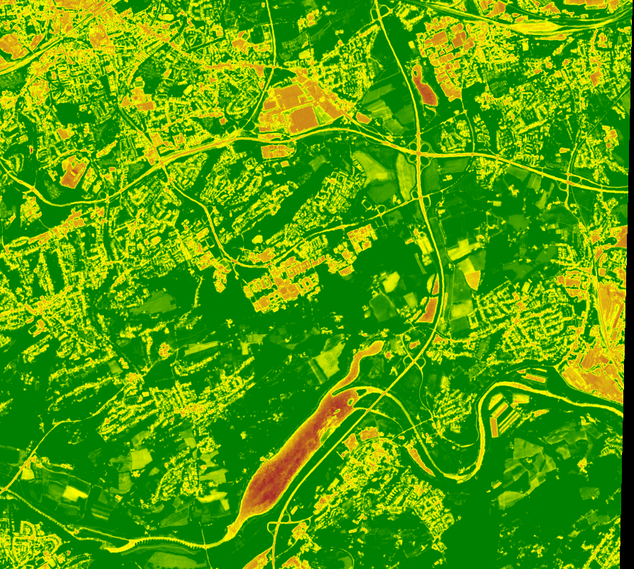
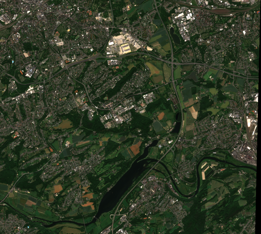
The Normalized Difference Vegetation Index (NDVI) is the most commonly used vegetation index, calculated based on remote sensing data. It allows for the assessment of vegetation health and density.
Swipe to explore the differences!
Copyright © Geographical Institute 2026
Last update: Jun 08, 2026


