![]()
![]()
![]()
![]()
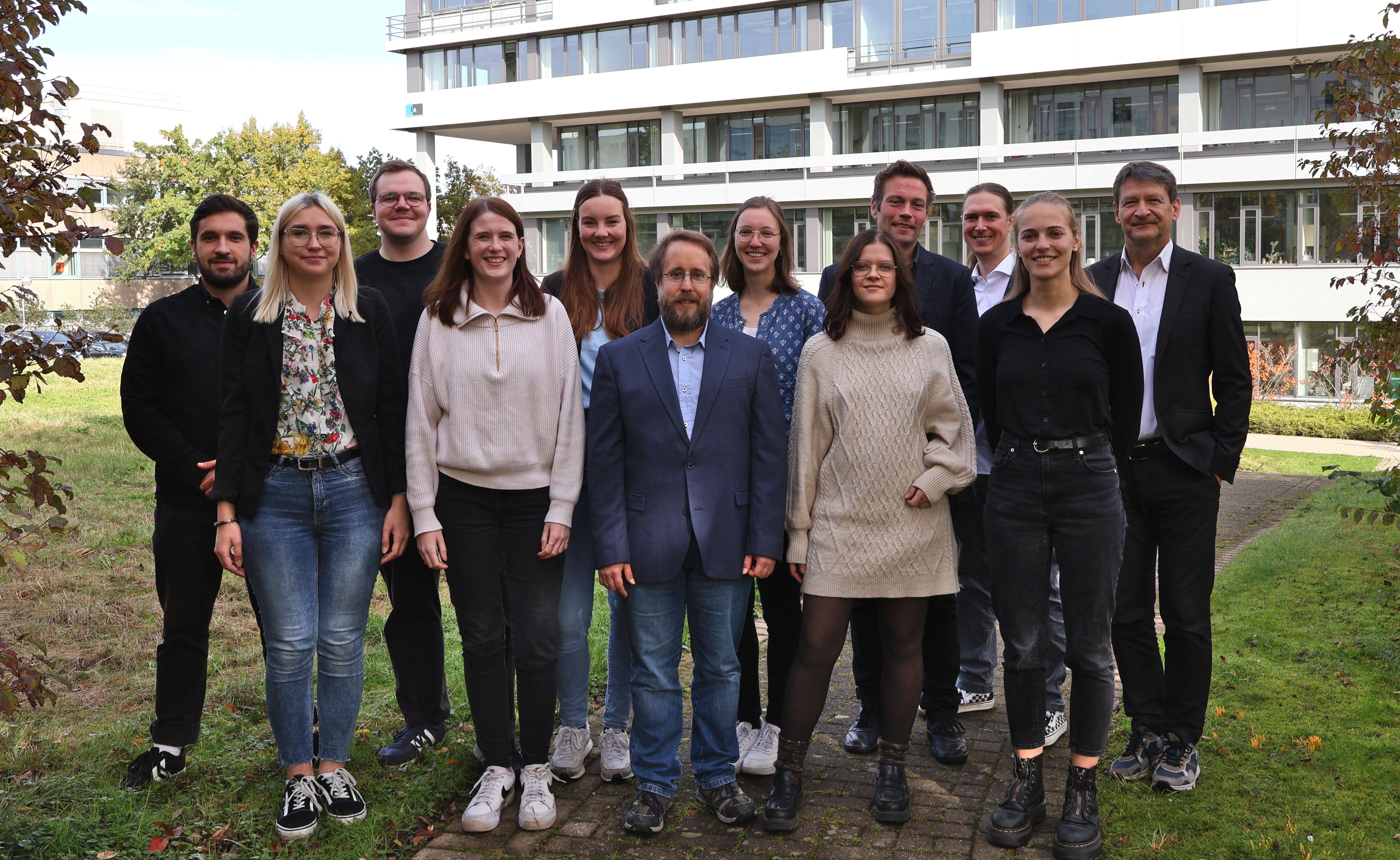
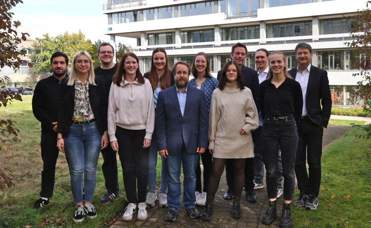
Research and teaching in the field of Cartography is an integral part of the Geomatics Group. Cartography at RUB implies the development of efficient IT-based visualisation methods such as interactive multimedia maps and augmented and virtual reality applications. A particular focus is on user-orientation and the consideration of human cognitive processing in map use. Based on established experimental methods and theoretical foundations in neighbouring disciplines of cognitive sciences, especially cognitive psychology and neuroscience, cartographic research is also based on lab studies that aim to find new cartographic construction rules. These experimentally verified rules help users to get effective and efficient access to cartographically communicated geographic information. User- and cognition-oriented visualizations are important and serve different (map) user groups in smart and equitable urban societies.
You are leaving our website now. Please note that this link opens an external website. This may be subject to less strict privacy policies and may collect personal information. Further information on the protection of your data can be found in our privacy policy
The impact of structural changes on people can be measured through immersion in virtual models.
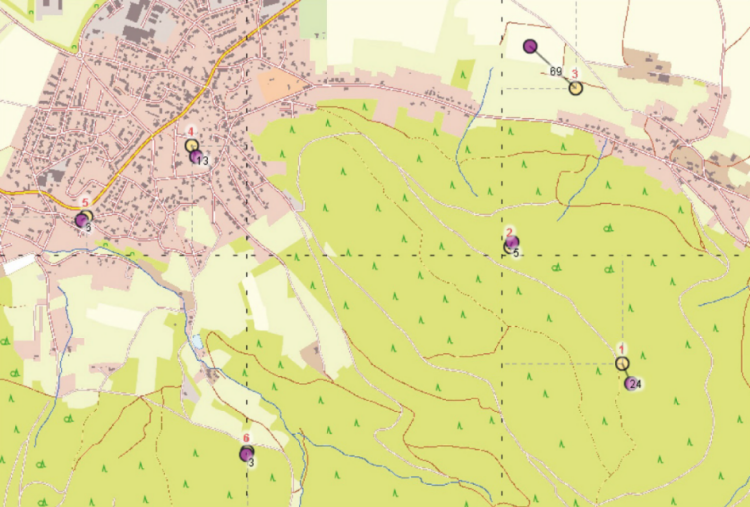
Grids can help to orientate ourselves better on maps. Especially when they are blue.
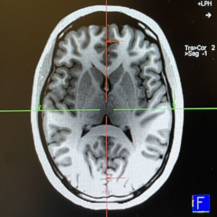
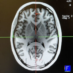
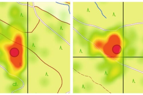
Map users process information from the legend more efficiently when it is placed on the right side of the map. The reason for this lies in the brain.
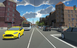
Standing at the top of the mining tower and looking out into the distance... this is possible at the Holland Colliery. In the virtual reality of Wattenscheid.
Sometimes the map in our minds has little to do with the real conditions. Geographers are investigating how this can be changed.
The map in our head often looks different from the one on the monitor. This is how it can be aligned.
The way industry changes the landscape can be seen online. A comparison between Prussian and current maps.


Optimization of navigation systems based on neurological findings. See Inner Map.


Copyright © Geographical Institute 2026
Last update: Jan 30, 2026