![]()
![]()
![]()
![]()

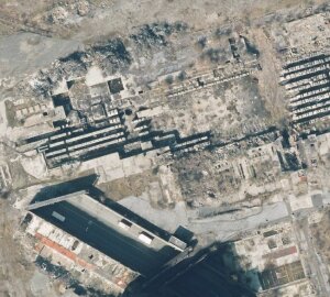
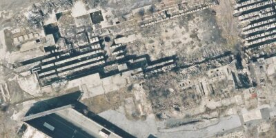
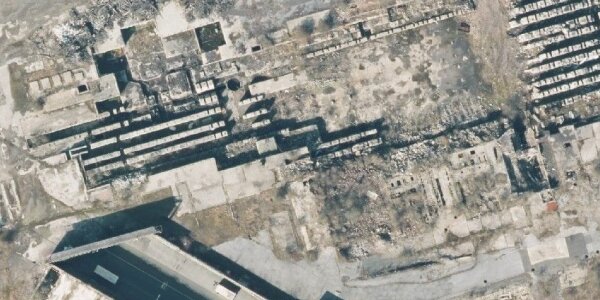
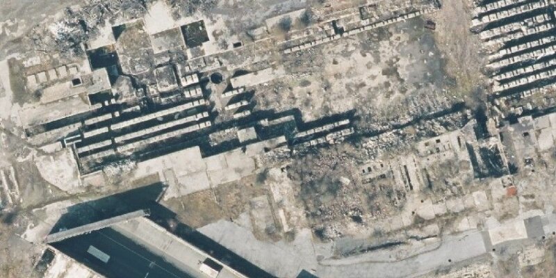
In North Rhine-Westphalia (NRW), which is characterized by numerous old industrial sites, the reactivation of brownfield sites in combination with the remediation of contaminated sites plays an important role—also in reducing land consumption.
For targeted municipal planning, it is first necessary to identify the existing potential for brownfield sites. This involves collecting relevant information on the location and condition of the sites and processing it manually. Worksheet 26 of the State Office for Nature, Environment, and Climate (LANUK) provides guidelines for identifying brownfield sites in NRW. However, the method defined therein is very time-consuming and requires a great deal of experience and expertise.
This project therefore aims to reduce the amount of work involved and enable more continuous recording of potential brownfield sites with the help of AI-supported methods and on the basis of digital aerial images.
Project Info
Project Period: 2025-08-01 - 2026-07-30
Projekt Lead:Copyright © Geographical Institute 2025
Last update: Okt 29, 2025