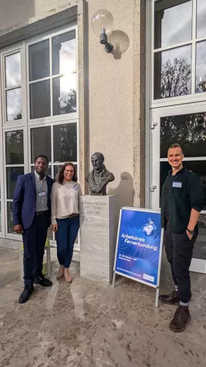
How can Earth observation and environmental data contribute to society, policy, and sustainable land use? This question was the guiding theme of this year’s annual meeting of the Arbeitskreis Fernerkundung (Remote Sensing Working Group) of the German Society for Geography (DGfG). From 7 to 8 October 2026, close to 100 participants came together at the Thünen Institute in Braunschweig to discuss their current work in remote sensing. The Urban Remote Sensing research group of the Institute of Geography contributed two oral presentations and a poster. Further, the group organized a dedicated session for early career researchers.
The meeting was hosted by the Johann Heinrich von Thünen Institute, a Federal Research Institute for Rural Areas, Forestry and Fisheries, and organized by Stefan Erasmi, Marcel Schwieder and their team. Over two days, the programme covered a wide range of applied remote sensing: seven thematic sessions ranged from forest monitoring and resilient agriculture to nature-based solutions. In her keynote, Katja Berger from the GFZ Helmholtz Centre for Geosciences addressed the so-called “last mile gap”, meaning the challenge of ensuring that scientific findings from Earth observation reach policy decisions.
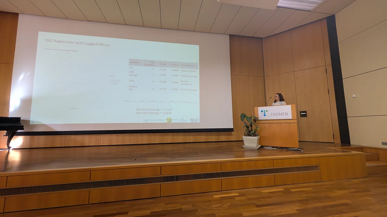
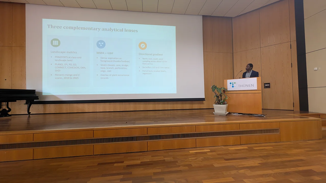
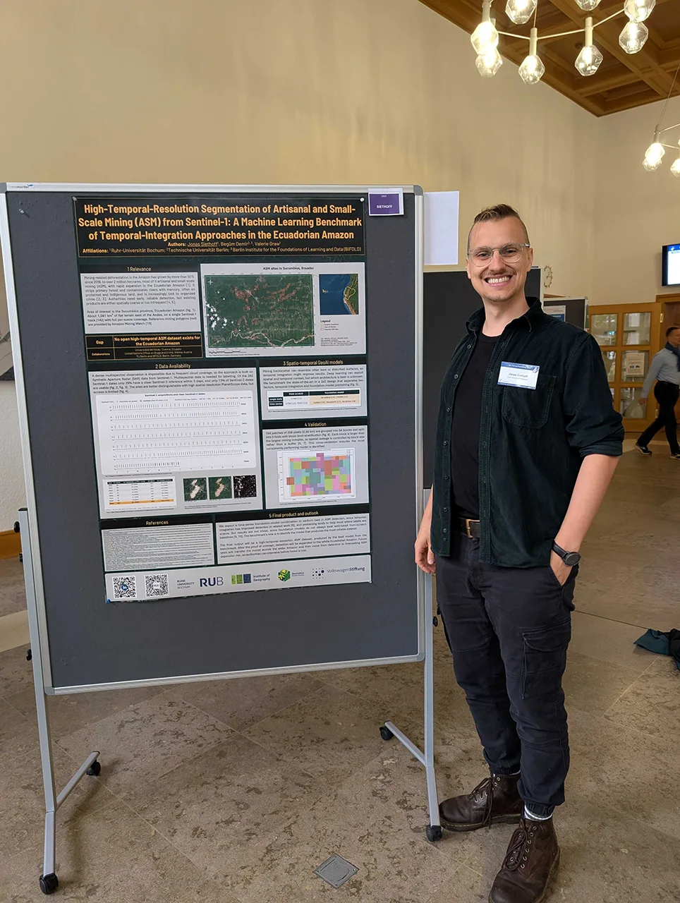
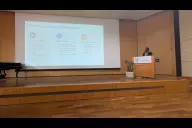
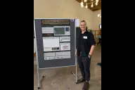
The Institute of Geography at Ruhr University Bochum was represented by three researchers. Jun.-Prof. Valerie Graw (Urban Remote Sensing) presented her research on detecting tipping points in coupled urban systems, on the example of the Drought–Power Outage Cascade in Ecuador. Rotimi Obateru, a visiting researcher from the University of Ibadan, Nigeria, working with the Urban Remote Sensing research group, presented how modelling urban landscape connectivity can support biodiversity conservation in at-risk tropical cities. Jonas Siethoff (Urban Remote Sensing) presented a poster on the segmentation of artisanal and small-scale mining in the Ecuadorian Amazon using radar imagery and geospatial artificial intelligence.
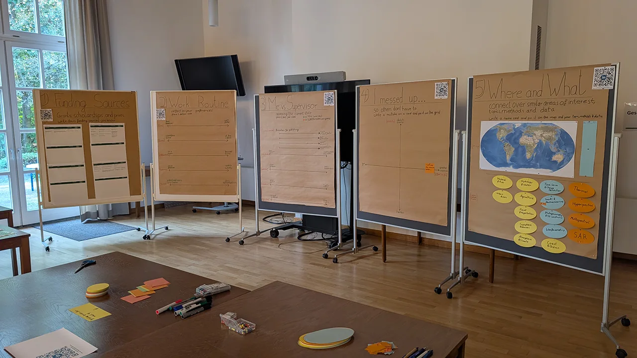
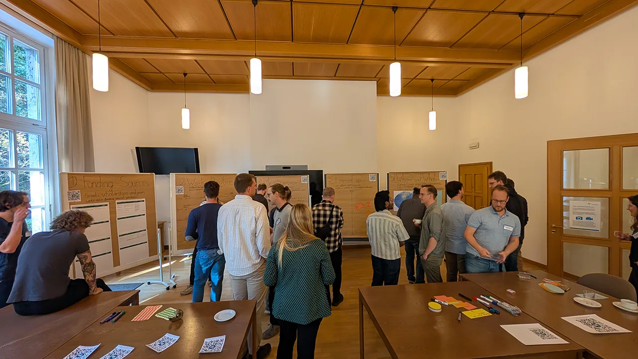
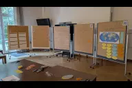
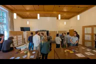
Beyond the scientific presentations, the meeting also made room for exchange among early career researchers. Jonas Siethoff hosted the Early Career Researcher (ECR) session, which he designed and prepared together with Dr. Stefanie Steinbach (Urban Remote Sensing). With the aim of connecting participants, the session used five interactive poster walls on different topics. Graduate students, PhD researchers and early-career postdocs collected funding sources, compared their working preferences, and discussed how their expectations of supervision match or differ from the view of their supervisors. On a thematic “I messed up” wall, the ECRs shared their experiences with the goal that others can avoid similar mistakes. On a world map, the participants showed where and on what they work, helping to identify potential synergies. The results of the ECR session will be digitized and shared with the community. The LinkedIn group “AK Fernerkundung ECRs” is open to all ECRs in the field of remote sensing in the DACH region (Germany, Austria and Switzerland). It aims to keep the exchange going beyond the conference and to help the next generation of scientists build their networks early on.
Many thanks to the organizing team and the Thünen Institute for two great days in Braunschweig. More information and the full programme are available on the website of the Arbeitskreis Fernerkundung here.

Copyright © Geographical Institute 2026
Last update: Okt 28, 2026