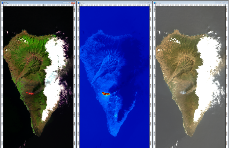
The course Environmental Remote Sensing and GIS can be selected as an elective within the master’s module Geographical Information Systems and Remote Sensing. It provides both theoretical and practical foundations of remote sensing as well as training in the use of Geographic Information Systems (GIS).
The course focuses on structured approaches to solving spatial research questions and on the computer-based processing, analysis, and visualization of geographical data. Students learn the complete analytical workflow, ranging from data acquisition and processing to modelling and the presentation of the resulting information.
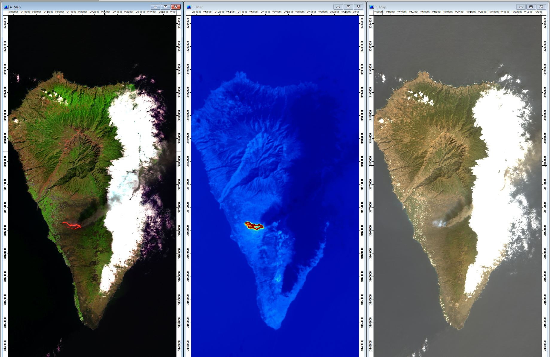
The course addresses modern remote sensing datasets, particularly from current Earth observation missions such as the Sentinel satellites of the ESA Copernicus Programme and recent NASA missions (e.g. Landsat 8 and 9). Different remote sensing techniques are covered, including multispectral, hyperspectral, thermal, and RADAR methods, as well as their applications in monitoring land surfaces, urban environments, oceans, and the atmosphere.
Ultimately, the course aims to develop an understanding of how this partial knowledge can be integrated into more comprehensive Earth system modelling approaches and thereby support policy-making and decision-making related to environmental challenges.
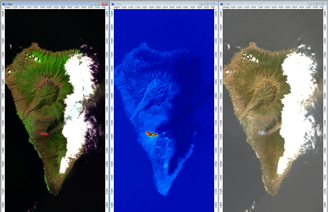
The course is structured into several thematic blocks in which theoretical foundations on sensors and methods are taught and complemented by practical example analyses using GIS. The open-source software SAGA is primarily used throughout the course, allowing students continued access beyond their studies.

Copyright © Geographical Institute 2026
Last update: Jun 08, 2026