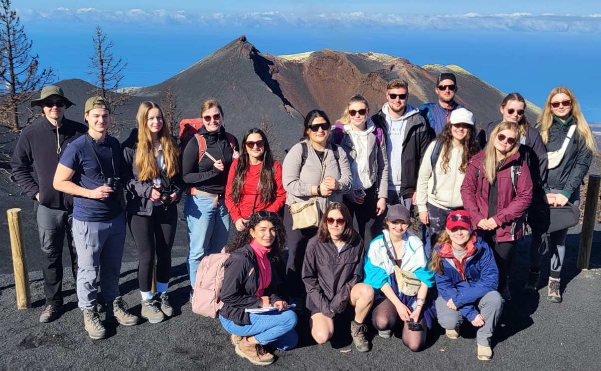
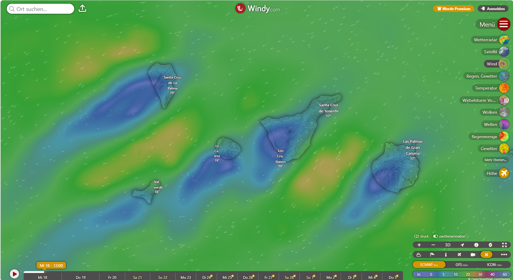
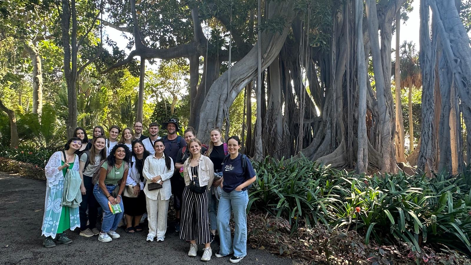
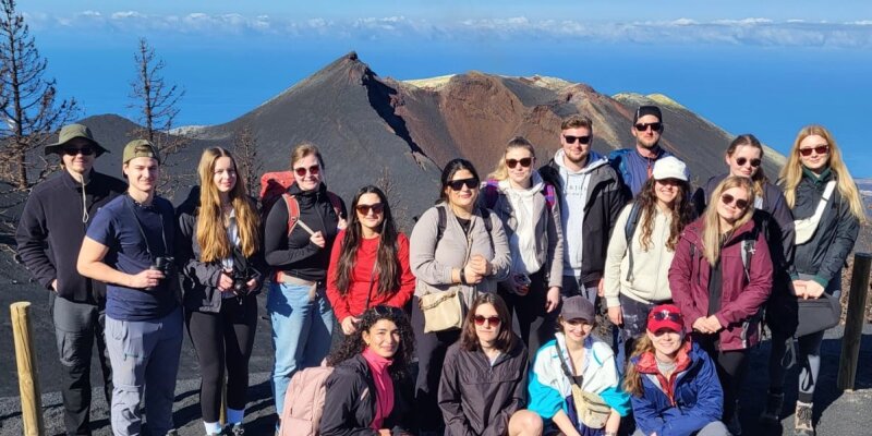
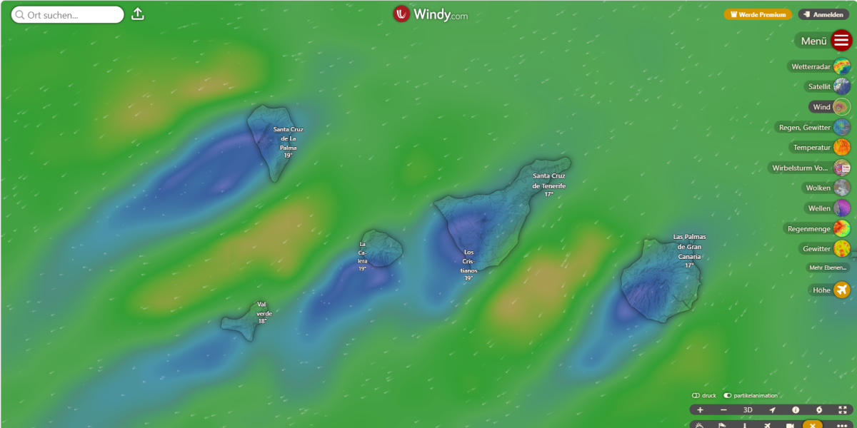
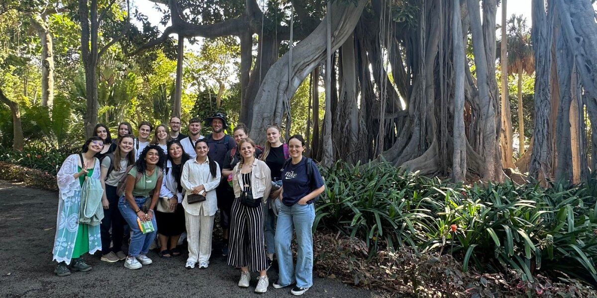
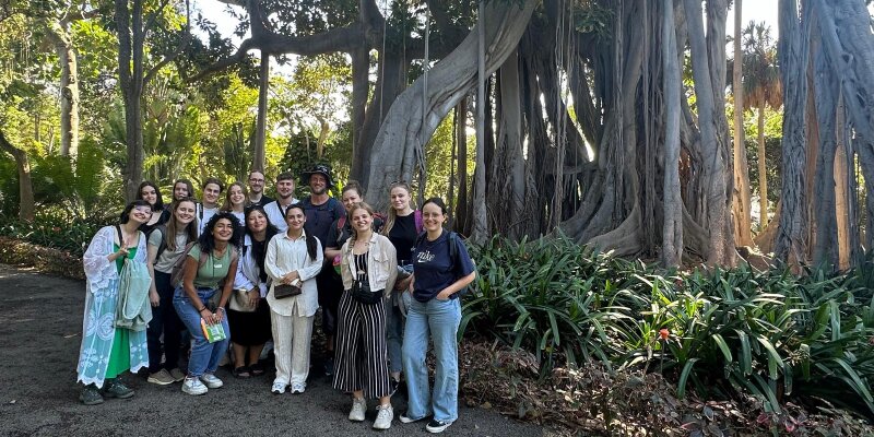
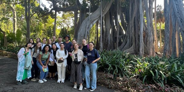
The bachelor’s module Regional Geography – Canary Islands provides fundamental geographical knowledge during a two-week field excursion to the islands of Tenerife and La Palma. The course covers both physical and human geography topics. Students learn to systematically analyze regional characteristics and relate them to broader global contexts. In addition to theoretical foundations, particular emphasis is placed on application-oriented work, such as conducting urban climate measurements on site.
Locations are mainly reached by car in order to provide a broad and diverse insight into geographical highlights, including:
The excursion combines field exercises, hikes, short presentations, and measurements. Students take responsibility for daily field leadership, give presentations on site, document the day through photos and videos, and prepare a daily field report.
The aim of the module is to analyze key processes of physical and human geographical regional development directly in the field, ranging from volcanically shaped landscape evolution and climatic and ecological conditions to questions of land use, settlement development, and tourism-related transformation.

Copyright © Geographical Institute 2026
Last update: Jun 08, 2026