![]()
![]()
![]()
![]()
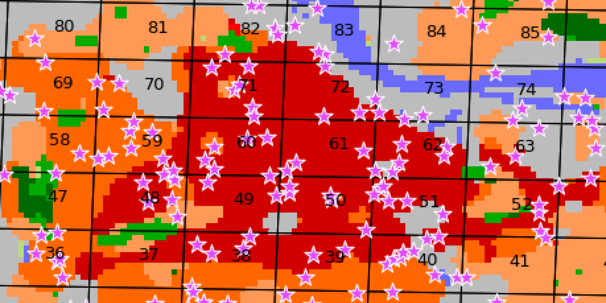
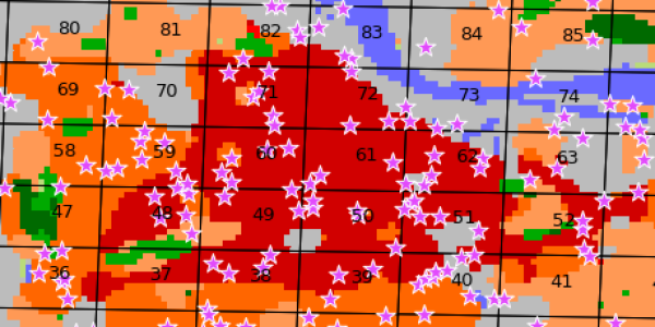
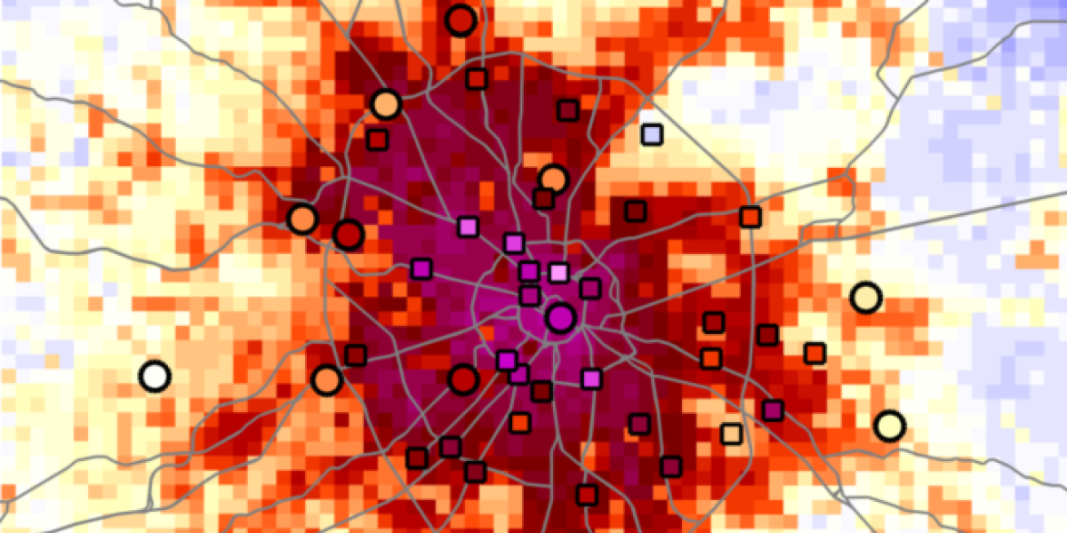
Work package 4 aims at demonstrating the added value of Local Climate Zones as input for urban canopy models in urban climate modelling.
Input data from work package 1 (Local Climate Zone maps and derived surface characteristics) shall be used as input for different models. The models shall comprehensively be evaluated for selected cities in the thermal database from work package 2, using the acquired data of land-surface and air temperature.
The goal is to demonstrate the added value of integrating local-scale surface information in urban climate modelling in different background climates and city settings.

1 / 2

2 / 2
References:
[1] Sun, T. and Grimmond, S. (2019): A Python-enhanced urban land surface model SuPy (SUEWS in Python, v2019.2): development, deployment and demonstration. Geosci. Model Dev. 12 (7): 2781-2795. DOI: 10.5194/gmd-12-2781-2019
[2] Varentsov, M., Samsonov, T. and Demuzere, M. (2020): Impact of Urban Canopy Parameters on a Megacity's Modelled Thermal Environment. Atmosphere 11 (12): 1349. DOI: 10.3390/atmos11121349
Copyright © Geographical Institute 2022
Last update: Jun 08, 2022