![]()
![]()
![]()
![]()
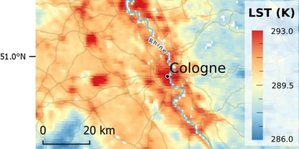
Work package 2 aims at gathering spatially explicit patterns of surface and canopy-layer urban heat islands (UHI) for numerous cities world-wide.
Local-scale surface UHI will be derived from Landsat and MODIS land-surface temperatures, and their diurnal and annual variation will be analysed for >1000 cities.
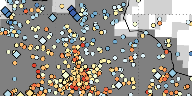
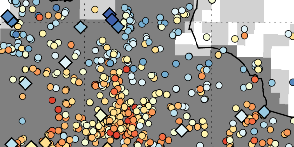
Local-scale canopy-layer UHI shall be derived from crowdsourced air temperature data from citizen weather stations (CWS). These data will undergo rigorous quality-control and be compared to professionally-measured atmospheric data.
A workflow will be developed to consistently update these data for near real-time analyses.

1 / 2

2 / 2
References:
[1] Fenner, D. (2020): Heatwaves and urban thermal climates in Berlin, Germany. PhD Thesis, Technische Universität Berlin, Berlin, Germany. DOI: 10.14279/depositonce-10378
Copyright © Geographical Institute 2022
Last update: Jun 08, 2022