![]()
![]()
![]()
![]()
Here, you will find suggestions for topics in cartography for your Bachelor's or Master's thesis. If you are interested or have any questions, please contact the listed contact persons. You are also welcome to reach out to us with your own topic suggestions!
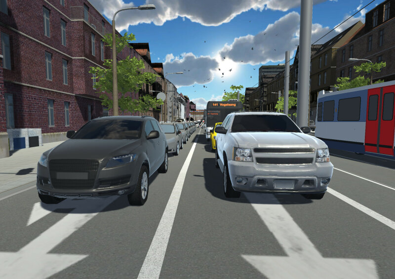
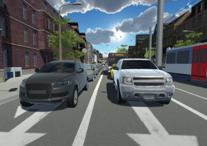
Maps are the means of choice for conveying spatial information. However, the specific design of a map can influence how we perceive, interpret and use spatial data. Possible research topics and questions include, for example:
Contact persons
Virtual reality (VR) and augmented reality (AR) offer exciting new possibilities for cartographic visualization. Spaces, such as urban planning scenarios, can be experienced virtually from an immersive, egocentric perspective, or real spaces can be enriched with additional virtual information. These technological advancements present numerous opportunities and challenges for cartography and its geographical applications, including:
Contact persons
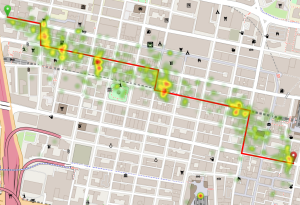
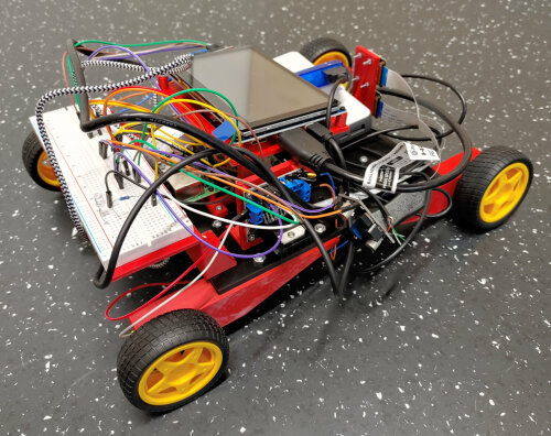
Technological innovations such as smartphones, single-board computers (e.g., Raspberry Pi), and mini-drones have made it easier than ever to collect spatial data. However, to derive meaningful insights from this data, it must be effectively visualized and interpreted. Example tasks and questions for this topic area:
Contact persons
Copyright © Geographical Institute 2025
Last update: Aug 01, 2025

